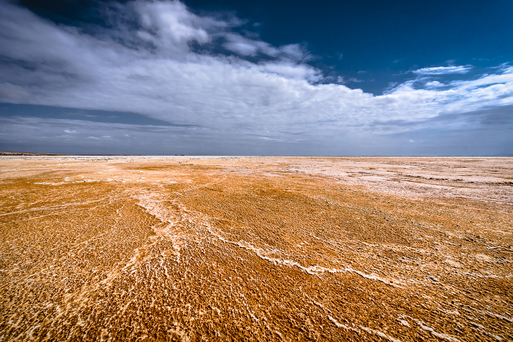
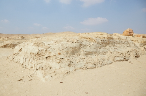
In the days before and after a rift opened in the Ethiopian Desert in September 2005, the ground shook with no fewer than 420 earthquakes. Volcanic activity bubbled across the landscape, sending ash into the sky. In the climactic event, the earth ripped itself apart like a pair of too-tight jeans, opening up a 35-mile fissure. Some 25,000 herders fled the first major new “dike intrusion” to hit land since the 1970s, according to one paper.
Scientists rushed to the rift, hoping to study a process that typically occurs underwater, at the mid-ocean ridge, where volcanic material forms new oceanic crust. Exactly how this plays out on land, however, is poorly understood.
An early paper on the rift, led by Atalay Ayele, an associate professor at Addis Ababa University in Ethiopia, drew a parallel to the underwater variety, calling the new land one an “incipient oceanic rift,” which could further divide the land.
Could a New Ocean Form In Africa?
Yes, but it would take millions of years, geologists say, and a lot of help from other land features on the continent.
East Africa Rift System
The rift that split in 2005 is part of the much larger East Africa Rift System (EARS), a network of rifts and valleys that first appeared about 25 million years ago as the first apes were evolving in Africa. Over time, the system branched out and spread south to where it ends today in Mozambique, near the Indian Ocean. Along the way, EARS skirted Lake Victoria by splitting into two different paths.
Tectonic Plates Shifting
Shifting tectonic plates underlie the system, including the Somali Plate to the East, the large African (or Nubian) Plate, and the Arabian Plate to the Northeast. Caught in the middle of these massive slabs of land is the smaller Victorian Plate, which is made of harder stuff and sits like a rock in a geologic stream. As the rift expands, sections of the Somali Plate could drift out to the Indian Ocean and open up a narrow sea within the continent.
Lake Tanganyika
Some of the valleys within EARS have already filled with water, most notably Lake Tanganyika, the second-deepest lake in the world. The rest could one day fill with ocean water, as they sink lower, but that would take the aforementioned millions of years.
“Remember it has taken over 30 million years for the [crust] thickness around the rift valley to reduce from 40 kilometers to 35 kilometers,” geologist Edwin Dindi told The New Times newspaper, “meaning that it will take many more years to shed off another 5 kilometers.”
For this to happen, the African and Somali Plates must divide a great deal further, but they’re currently separating at a rate of up to 0.5 inches a year.
The East Africa Rift System and nearby tectonic plates (Credit: U.S. Geological Survey)
Ocean Odds for Rift Valleys
Other forces could slow the separation and lead to a “failed” rift, one that fills with sediment instead of water, and stagnates. Dindi points to a failed rift in Kenya, while the most famous example, the Midcontinent Rift, runs for about 1,800 miles through Wisconsin, Minnesota, Iowa and Michigan and contains billion-year-old rocks. Volcanic eruptions spilled massive amounts of basalt on the land, but North America refused to divide.
Other researchers have cautioned against naming a new ocean just yet, however high the hopes.
A 2020 study questions Ayele’s conclusion that the rift amounted to an oceanic one or something close: “Whether these modern zones are the direct precursors to oceanic spreading centers remains unresolved.”
And the PaleoMap project run by geologist Christopher Scotese, which maps future and past tectonic plates, predicts that over 100 million years the Somali and African plates will stay together and collide with Europe and Asia to create a huge landmass.


